Serendip is an independent site partnering with faculty at multiple colleges and universities around the world. Happy exploring!
Re-imagining the iconography of maps

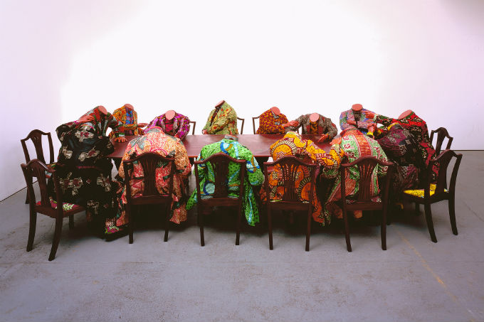
I just came across a very powerful illustration of the central idea of our course: that all representations are limited. This article in today's edition of The Guardian, on Why Google Maps gets Africa wrong, tells the interesting story of the limitations of maps. There are strong eco- and econ-threads in all of this, from the early mapmakers who would "fill their gaps" with "elephants for want of towns," through the Berlin Conference, where "Europe's colonial powers coloured in their territories with their imperial hue-of-choice" (we saw this represented in Shonibare's "Scramble for Africa")--

--through today's Google maps, "driven by commercial multinational profitability" and "the prospects of advertising revenue." Google maps are "produced on the west coast of America," which "necessarily affects how they are made." Imagine, instead, that "all of Google's data and programming ability was suddenly in the hands of a Namibian agriculturalist, a Sahelian nomad or a Senegalese fisherwoman – the maps they would conjure up would be completely different. They might well prioritise soil types over Starbucks, wells over Walmarts and the state of land degradation over panoramic street views of American towns."
Imagine.


Comments
This reminds me of this
This reminds me of this wonderful clip from one of my favorite West Wing episodes: https://www.youtube.com/watch?v=n8zBC2dvERM
How can we "correctly" represent a globe on a two-dimensional surface? Is there a reason for doing so? Is it ethical when distortions will inevitably have to be made, and how can we decide what to distort?
three dimensions?
Kelsey--
thanks for picking up on this thread. Having critiqued the old conventions, the challenge now is to create some new ones; maybe the trick is not to aim for fewer but more dimensions? I've just discovered joey hartmann-dow's site of "Us and We Art," which includes "maps for some of us" that show the "land as a moving, breathing creature, worthy of love and care," "a child and parent" with a "life story." What do you think....?
